Previous section: Making the Map
Labelling and Research
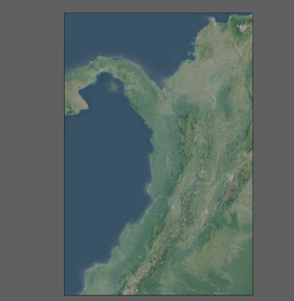
Colombia has possibly the most complex geography relative to its size of any country in the world. Both the Orinoco and Amazon rivers flow through it, as well as 3 separate branches of the Andes. It has deserts, jungles, and glaciers, often in close proximity.
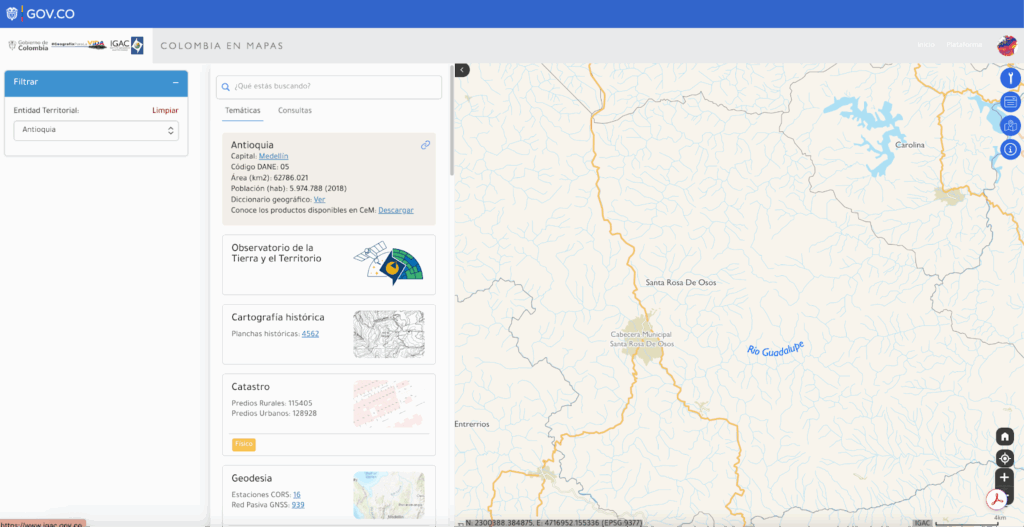
Fortunately, Colombia has a robust open data network, including comprehensive vectorized basemaps through Colombia en Mapas.
There is also a rich corpus of digital scientific resources that often contain primers on local geography and place-names. I slowly built up a spreadsheet of geographic terms by cross-referencing OpenStreetMap, various topo maps and a kaleidoscope of one-off deep dives on small areas.
While the bulk of the map research naturally focused on Colombia, I also used the Panamanian and Ecuadorian geographic agencies to supplement my research, but I picked only the most essential labels to getting tangled up in areas that were on the corners of the map.
I wanted to center the geography and nature of the region, and so with the sole exception of country names, I focused only on the natural. I deliberately left even national borders off the map.
Labelling is very difficult. You have to balance features and decide which should be included and which left off, if you even know what things are called – which is not a small task in a non-English speaking region with its own cultural sense of geography.
Often in Latin American cartography, I have noticed a tendency to label peaks, and smaller ranges, but not necessarily medium-scale geographic areas. This can be frustrating, because on a map of a large part of a country, you want labels to stretch over chunks of the landscape, but the maps will show that the entire range spanning your entire canvas has one name, and at a much closer look every 2-4 peaks will be grouped together, but there is no name between those two scales.
I also suffered from what I will call ‘satellite brain’. Things can look very different from above than they do on the ground.
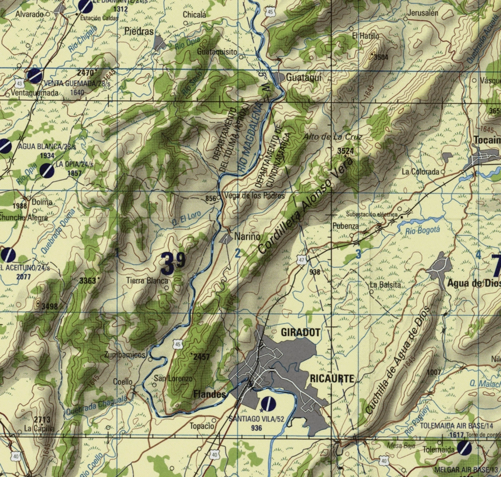
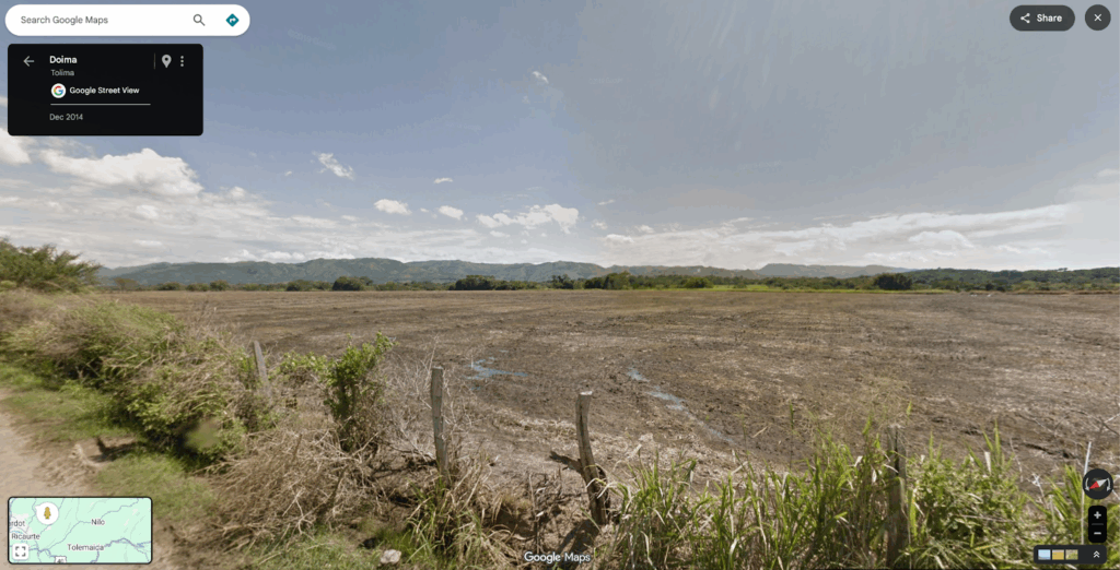
As an example, I had wanted to label a range of hills between Ibagué and Girardot in the department of Tolima, directly east of the Chocó (marked below)
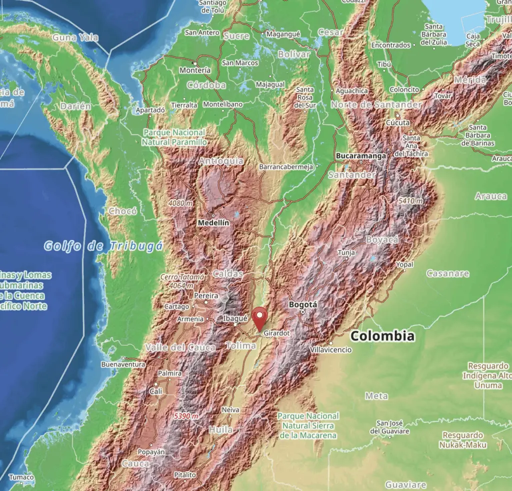
Here the Magdalena river, Colombia’s longest and most important, which flows otherwise uninterrupted from the Andes to the Pacific ocean, stops and awkwardly jags to the west before a series of ridges:
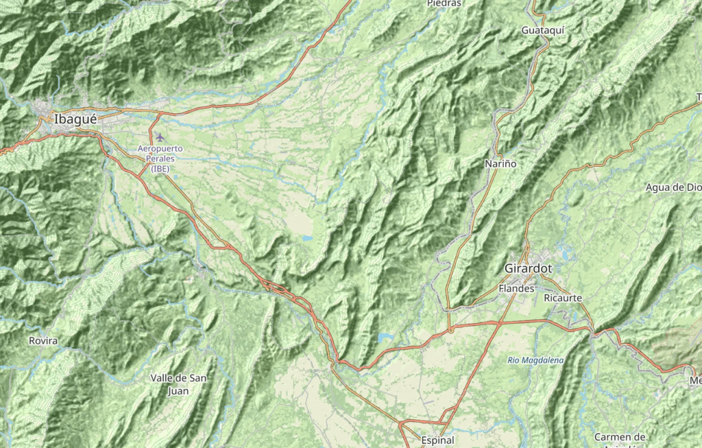
You would think this bar of hills would be of strategic significance, given it not only reroutes the largest river in Colombia but also separates the central and eastern branches of the Colombian Andes just west of the capital region. Yet, maps do not label it with a single (or usually any) name.
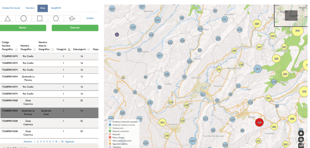
If we consult the Diccionario Geográfico de Colombia, we have 900 placenames just in this small area, including many dozens of individual valley and river names, but no name encompassing the entire range.
The most recent official Colombian topo maps are too small-scale to be useful, and again show only highly detailed geographic features:
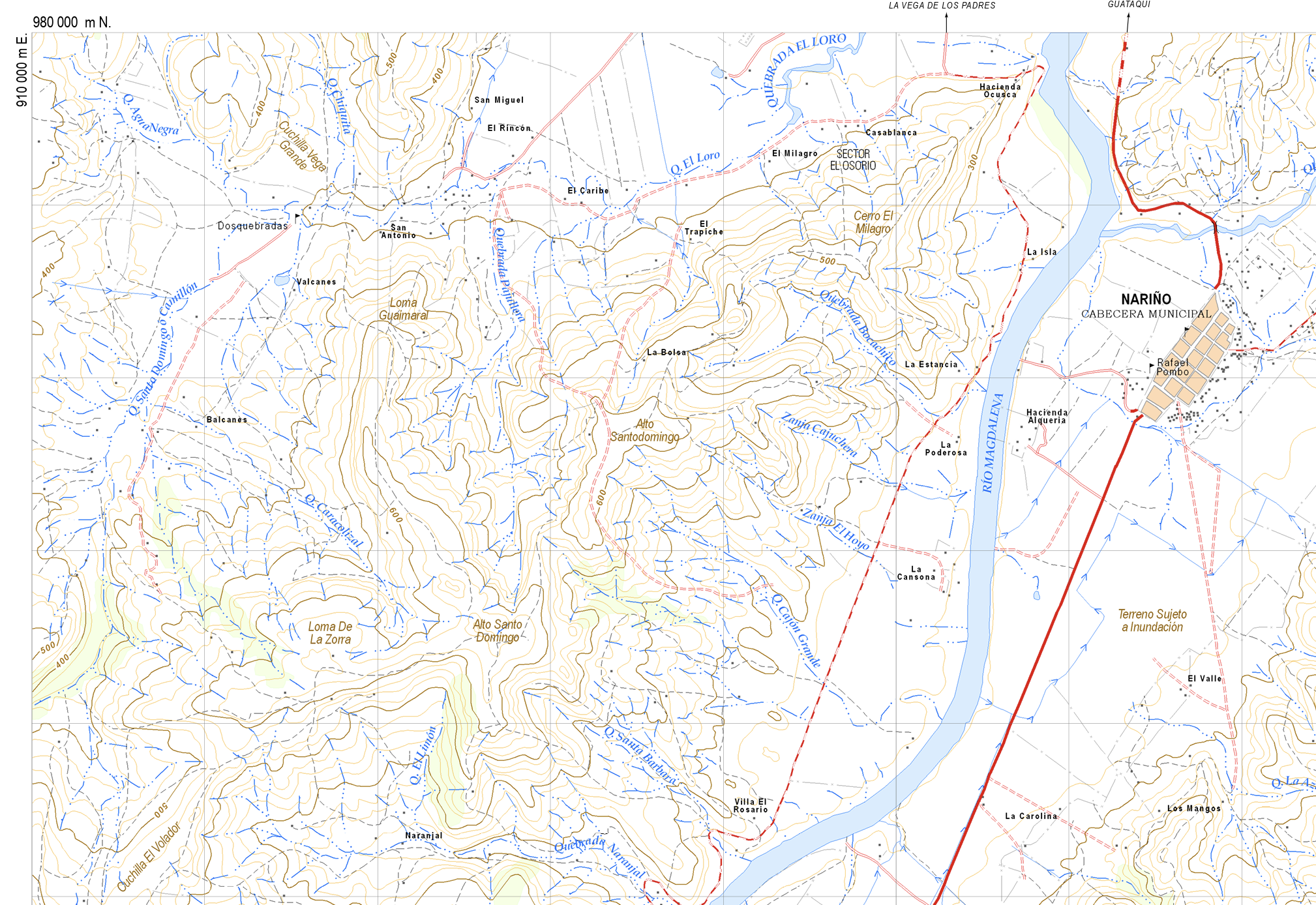
Often historical maps are useful but here they label only individual ridges and points but never treat the entire area as one unit – despite seeming to me to be one unified zone from above. You have the Cordillera Alonso Vera (‘Cordillera‘ being a name normally used for very large mountain ranges), but only for the thin range between Girardot and the village of Nariño:
Descriptions of this area in local websites talked about specific valleys, like the quebrada (literal. ‘break’) of the Gualanday, or the banks of the ‘High Magdalena’ , but would address the mountainous terrain only in generic terms (zonas montañosas).
The only times I found a name referring to the entire zone, was in this obscure report on the municipality of Piedras, centered squarely in the area, west of Girardot, that described the ‘Bar of Girardot’ (bolded below):
“De acuerdo con lo que se ha expresado en la parte geológica, en la mayor parte del municipio los basamentos de estas cordilleras limitan directamente y no existe el Valle propiamente dicho debido a la prolongación de la cordillera oriental hacia el oeste del río Magdalena conformando la llamada “Barra de Girardot”; que atraviesa en forma diagonal la fosa del Magdalena.”
One paper simply calls it the ‘The rugged hills of the Piedras–Girardot area…’ (source).
I attempted to cure my satellite brain by zooming around the area on Google Street View. Immediately our grand range of mountains, becomes a lot of hills:
Other areas looked completely different, despite seeming to be part of one feature from above.
Just southeast of the prior view is the Gualanday Canyon, which stunned in this Google Street View drone photo:
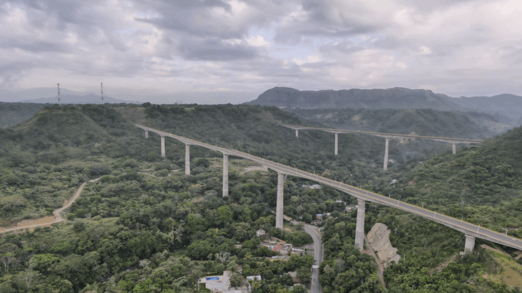
In a map, or a satellite image, it was all one seeming ‘bar’, but on the ground it was a diverse landscape that just doesn’t have any greater coherence with itself vs. anywhere else. Any single proper name that attempted to define it as a single thing felt useless with such obvious diversity.
I left it unlabelled in the end.
If you dig deep in local sources, and you cannot find the name you are expecting, consider that it may not be that important to locals for it to be named in that way. I like making maps that communicate a place to people who don’t know it, but also feels natural to people who do.
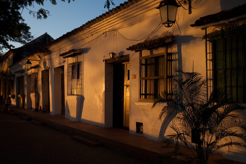
I paid attention to place-names that appeared repeatedly in articles about history and culture. Santa Cruz de Mompox, a town of about 46,000 people in the northern Caribbean plain, is not remotely close in size to the largest cities in Colombia, but in 1810, was the first place in Colombia to declare independence from Spain, and appeared consistently in lists and texts about Colombian history and culture.
I chose to include that over some larger cities like Soacha (600k+) that are administratively separate localities, but are otherwise only parts of the urban conglomeration of a larger center (in this case, Bogotá). The goal was to spread labels evenly across a landscape that matched relative significance, rather than a firmly numerical filter based on a single objective metric.
Of course, I am not Colombian, and I felt that very keenly. I asked therefore some actual Colombians to look at my map, several times over, and I took their pointers on what places they were expecting to see that I had not labelled.
Which leads to one major decision I made, and why: the map itself is in Spanish.
Next section: Cartografía en Español