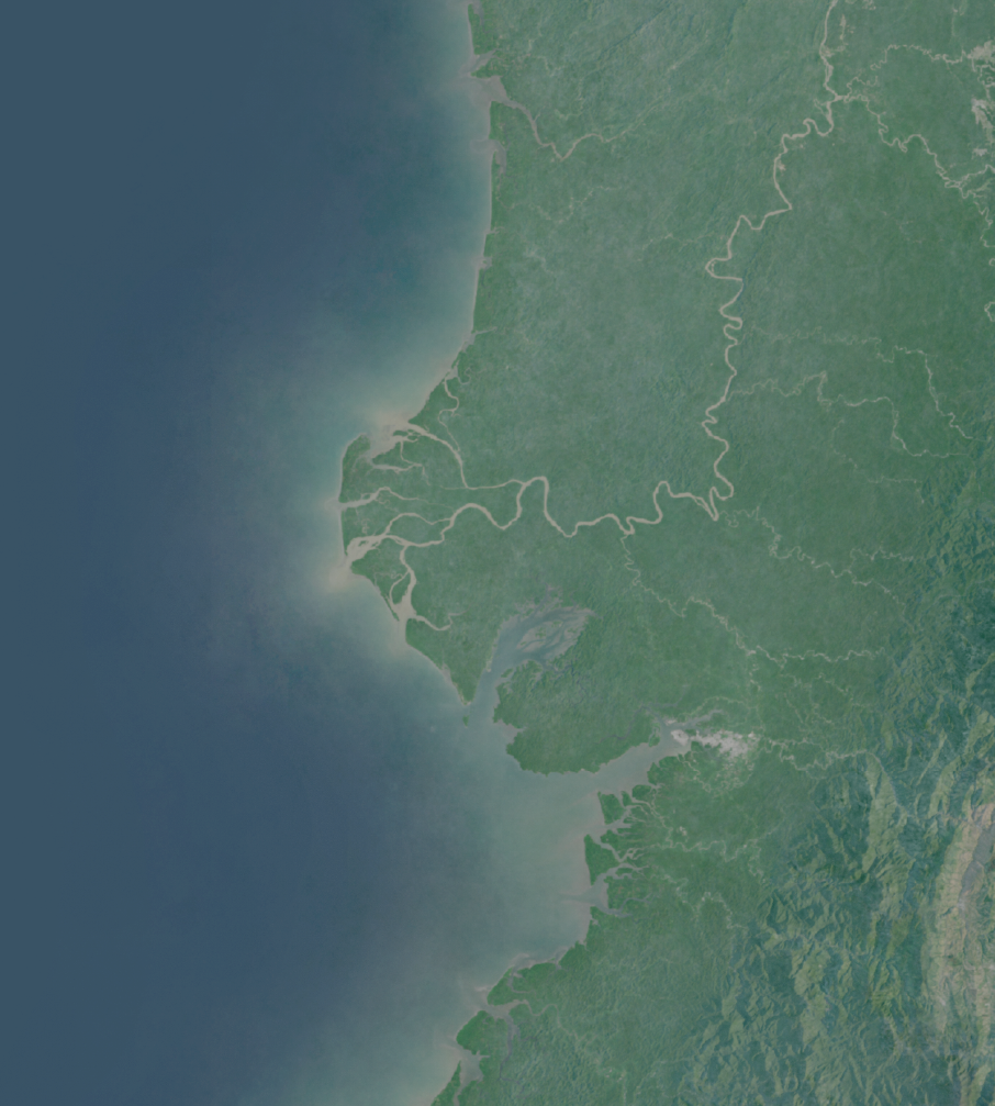
Mapping the cloudiest place on earth
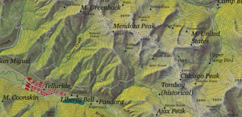
Half a year making a map of the wettest, cloudiest place in the world.
Half a year making a map of the wettest, cloudiest place in the world.
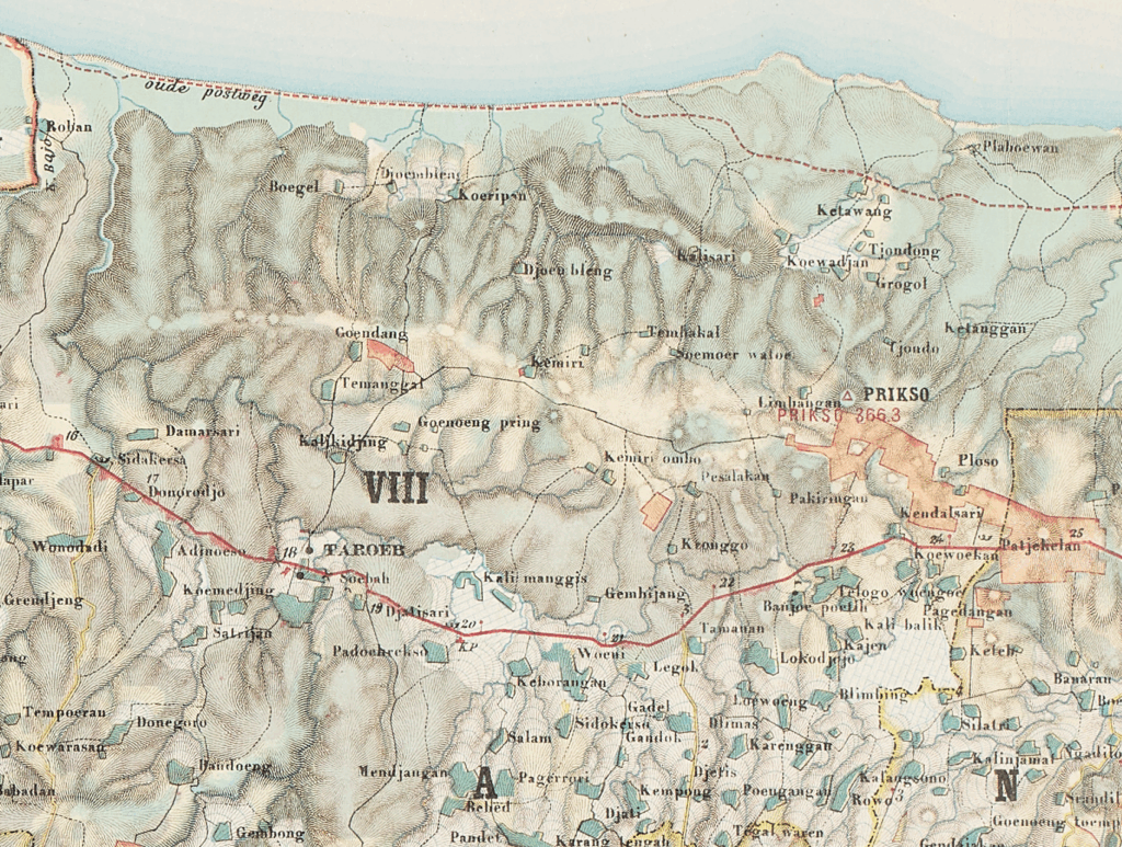
As cartographers today have taken up the task of creating digital hacks to simulate hachure, I thought it might be interesting to share some examples of just how many kinds of hachure there are in the first place.
Variety in hachure Read More »
I promised I would release a 30 Day Map Challenge highlight gallery when the challenge ended in…November. Well, it is not even that year anymore. That is the case with a lot of projects. You get the idea at a different time than the time and energy to carry it through. I was lucky that
The 30 Day Map Challenge in Review Read More »
This was my first year where I worked entirely as a professional cartographer. Here are some of my favorite projects and snippets over the past year. January This month was all Story Maps, Story Maps, Story Maps. Woodwell Climate Research Center was engaged in a longterm project to produce Story Maps on climate and strategic
2021 – Year in Review Read More »
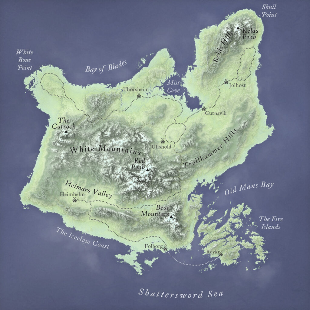
Why Bother with Fantasy Terrain? I love topography. It is dynamic, complex. High mountains drop down into plains split by gulleys before crumpling into hills. It flows and morphs. No two points are exactly the same. Most fantasy maps do not show realistic terrain, but instead use abstractions like stamps to add features to a
Making Realistic Terrain for Fantasy Maps Read More »
Building A Story Many modern cartographers grew up with fantasy maps. For some, it was their introduction to cartography. A map can bring a audience into a world by giving it life and color before they read the first word. J. R. R. Tolkien established the pop culture idea of a fantasy map with his
Making Fantasy Mountains: Lessons Learned from Fictional Landscapes Read More »
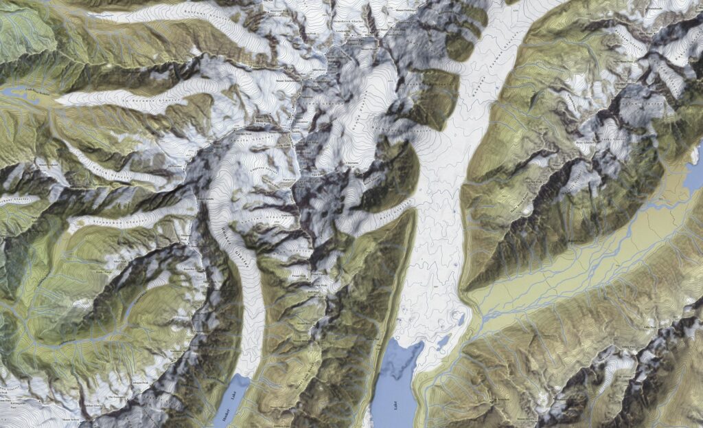
Mountains dominate the conversation around terrain. The Swiss Alps were the study for the great 19th and 20th century masters of shaded relief while today the Rocky Mountains, Himalayas, or even the desert vistas of the southwestern US are visited again and again by cartographers eager to display their chops. There is nothing inherently wrong
Enhancing Lowland Terrain in Shaded Relief Read More »
As much as the Swiss Style defines antique cartography, it also is not a monolith – nor is it representative of the many other schools of cartography in the 18th – 20th century. As I have continued to experiment with recreating vintage styles in digital maps, I have increasingly become more interested in naturalistic coloring.
Vintage Shaded Relief in Photoshop Pt. 2: Naturalistic Coloring Read More »
In cartography, the Swiss reign supreme. Swiss-style cartography is recognized globally as the standard to match for detail, beauty, and pedigree. Of course, this means everyone else wants to figure out what makes this style work. One of the first Swiss masters was Eduard Imhof ( 25 January 1895 – 27 April 1986 ) ,
Vintage Shaded Relief in Photoshop Read More »